Home » State maps and elevation data » Shopping Cart
Your cart contains 4 items totaling $6.96
 | DISTRICT OF COLUMBIA Ultra resolution JPEG image Show Counties  | $1.99 |  |
 | LOUISIANA Ultra resolution JPEG image Show Counties | $1.99 | |
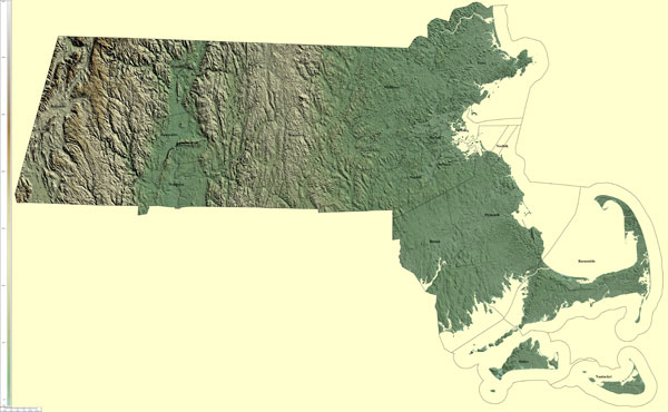 | MASSACHUSSETTS Ultra resolution JPEG image Show Counties | $1.99 | |
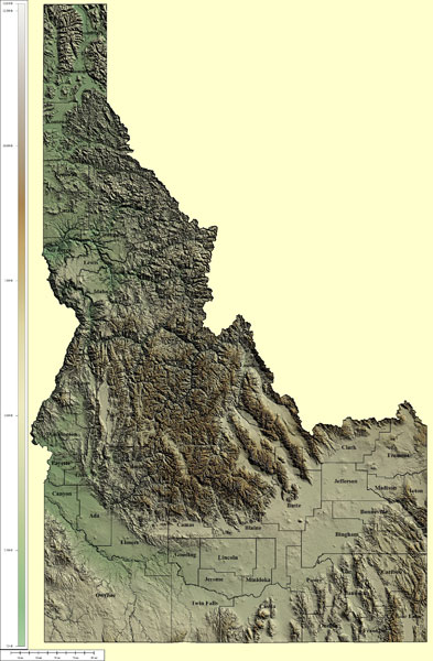 | IDAHO High resolution JPEG image Show Counties | $0.99 | |
 |