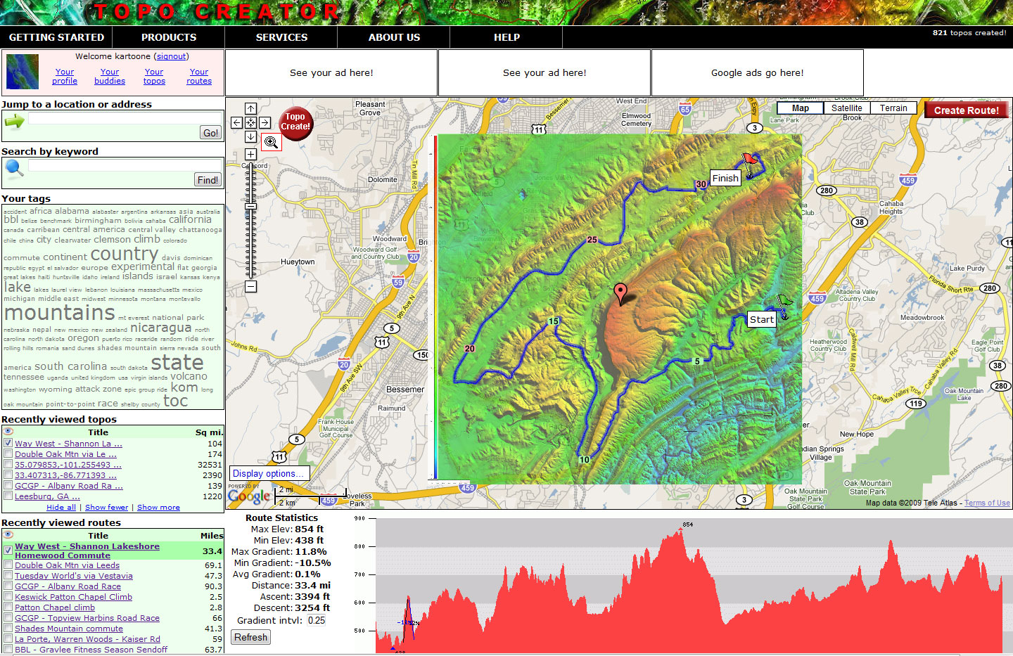
IMPORTANT NOTE: The original server hard drive crashed and I lost the pre-built maps, but I still have the elevation data and can re-create upon demand. Just note that your map is NOT instant delivery once you place an order!
Home » State maps and elevation data » Shopping Cart
Your cart contains 1 item totaling $0.99
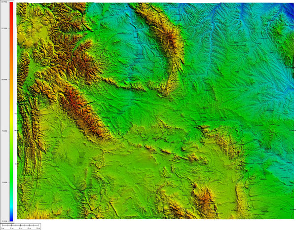 | WYOMING High resolution JPEG image Atlas Shading (cities)  | $0.99 |  |
 |